
Track your project’s evolution with clear, consistent photo updates. From site kickoff to final build, we deliver the full picture, every step of the way.
Construction Progress Updates
-
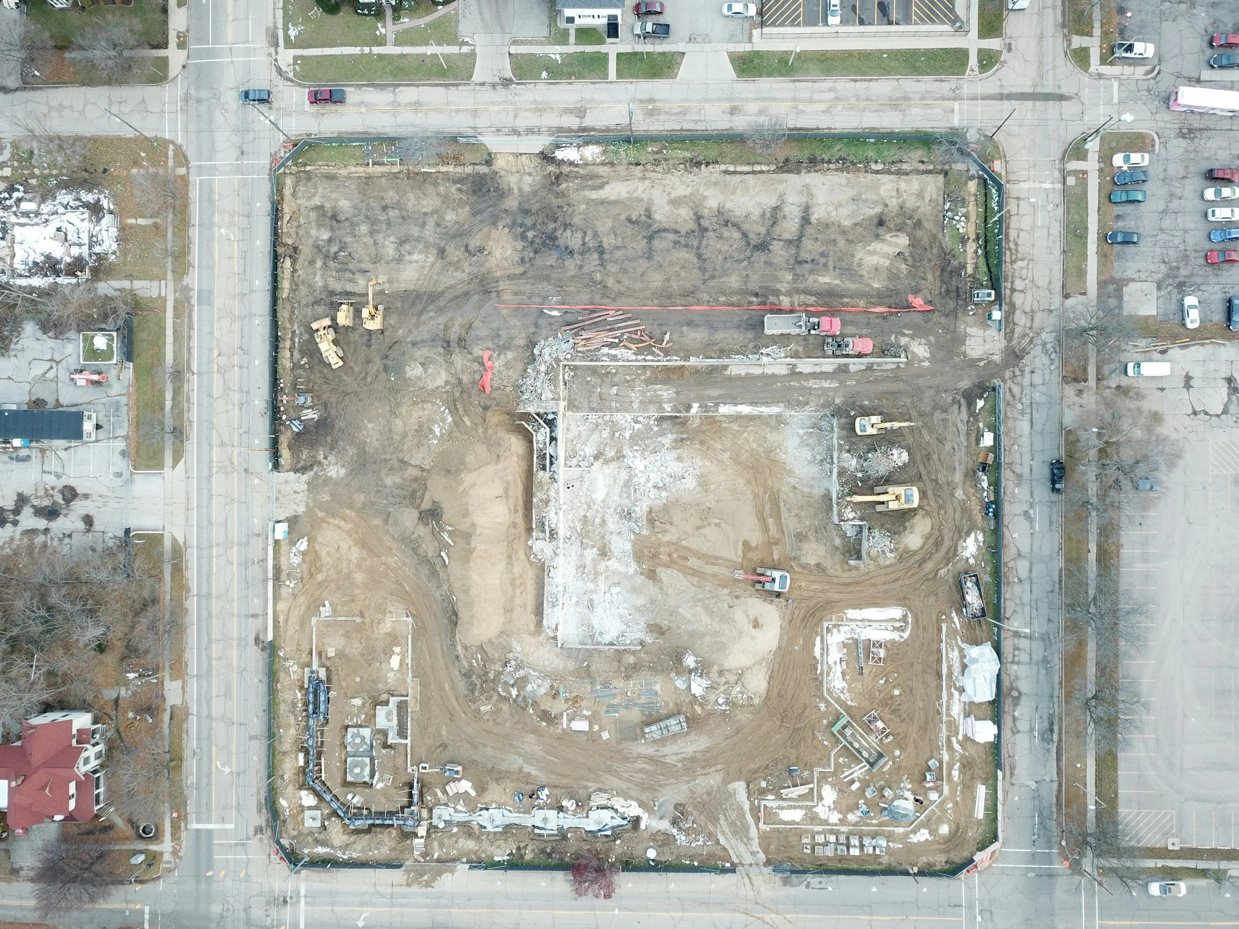
Photo Updates
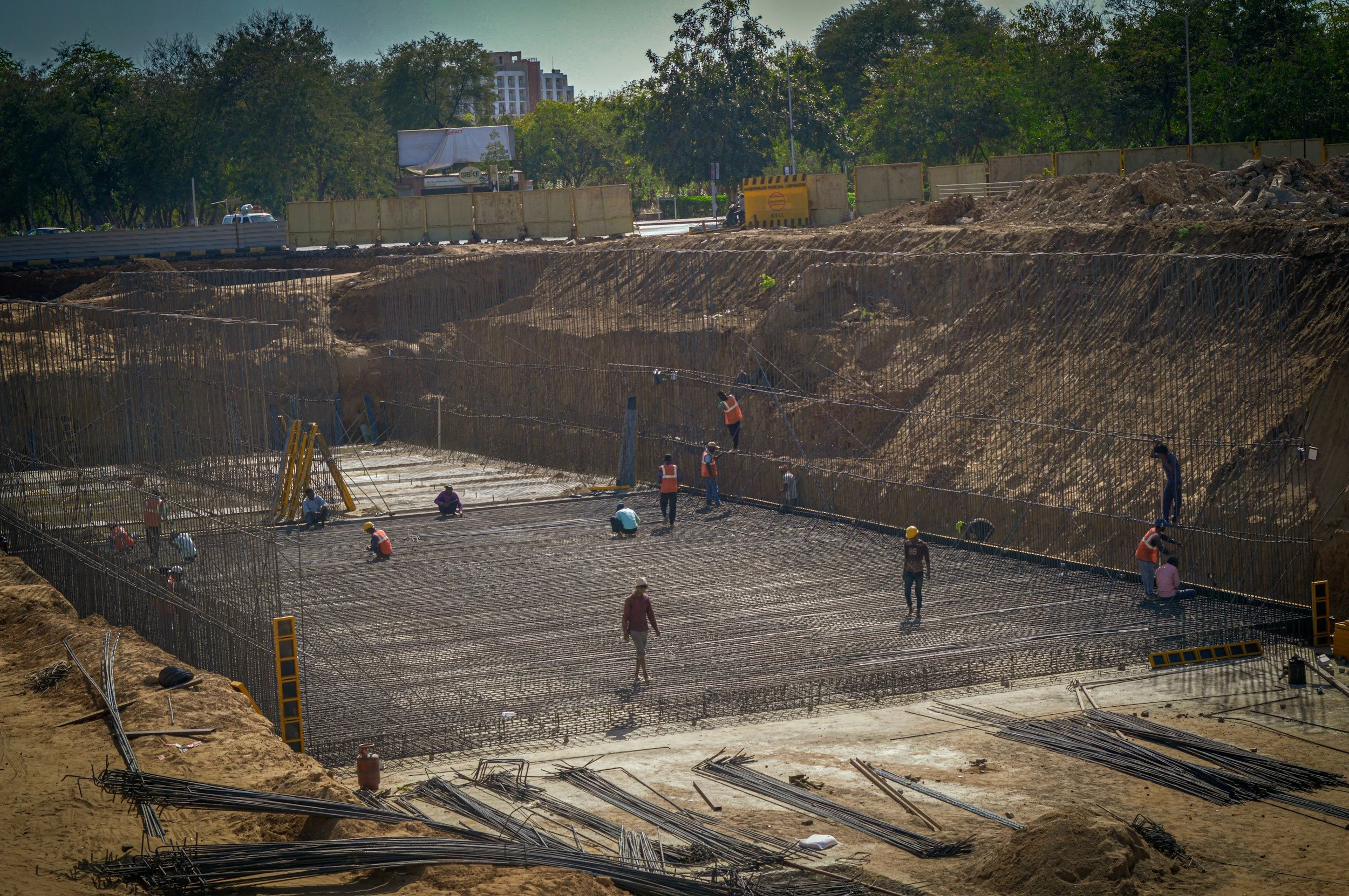
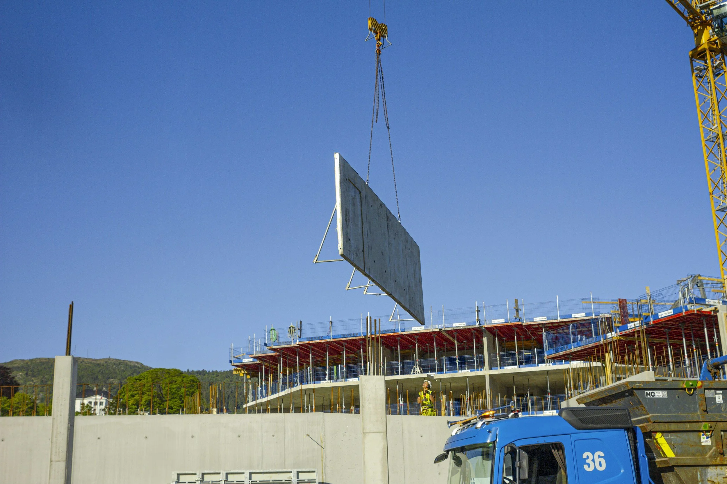
Consistent aerial photos give you a clear, reliable record of site progress without needing to be there. We capture high-resolution images on a set schedule so you can track changes, document milestones, and share clean updates with owners and stakeholders. It’s the easiest way to stay on top of what’s happening across the job.
Deliverables: High-Resolution Aerial Photos • Timestamped Progress Archive • Shareable Image Links
-
Video Updates
Aerial video brings your site to life and makes it easy to communicate progress to anyone involved in the project. Whether it’s a quick flyover or a more polished update, video helps highlight key changes, site conditions, and overall momentum. It’s a simple way to replace scattered photos with something that actually tells the story.
Deliverables: Aerial Flyover Video • Highlight Clips • Shareable Video Links -
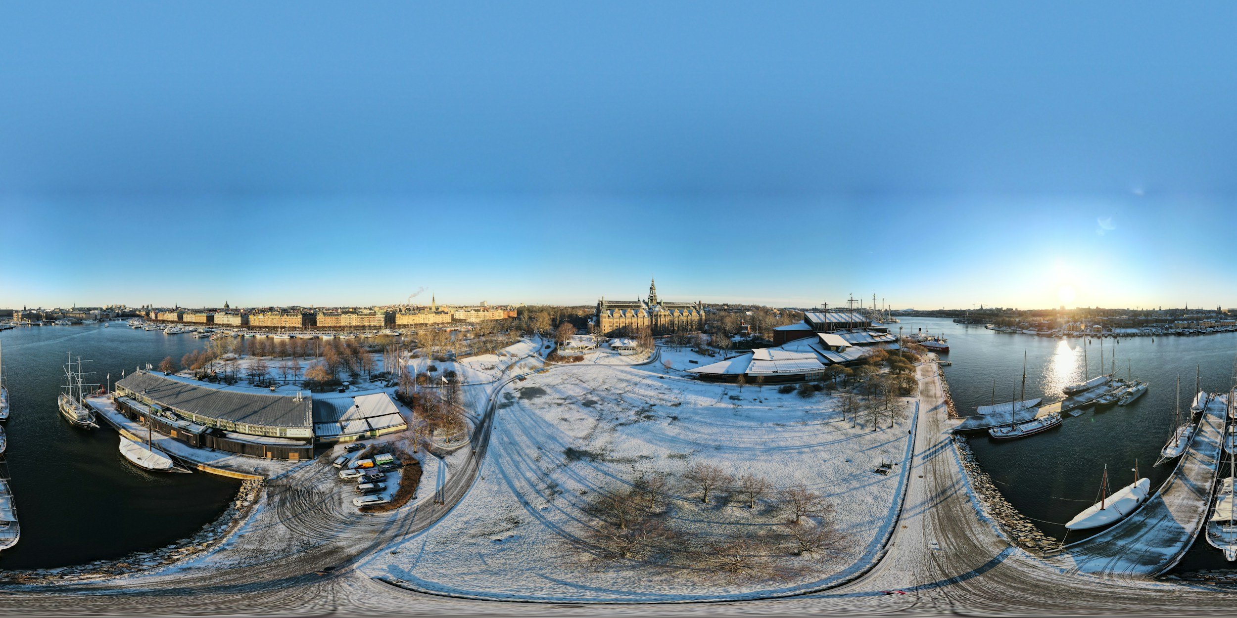
360 Updates
360 capture gives you a fully immersive view of the site, so you can look around and explore conditions as if you were standing there. It’s especially useful for walkthrough-style updates, coordination, and sharing a complete snapshot with teams who aren’t on-site. This adds another layer of clarity beyond standard photos and video.
Deliverables: 360 Site Walkthrough • Interactive Viewing Links • Mobile-Friendly Access