Aero Map Drone Solutions
See Your Project. From Anywhere.
Recurring aerial progress capture for construction projects across Chicagoland.
One visit. Multiple ways to see the site.
Photos | Video | 360° | 3D Model
A better project update than a few phone photos.
Construction teams already spend time documenting progress. AMDS gives you a consistent, comprehensive view of the entire site -- captured from the same perspectives over time and organized so your team can easily share it with owners, stakeholders, and anyone who wasn't there.
See what changed.
Look back at previous conditions.
Keep stakeholders informed.
Build a visual record of the project.
Additional Services
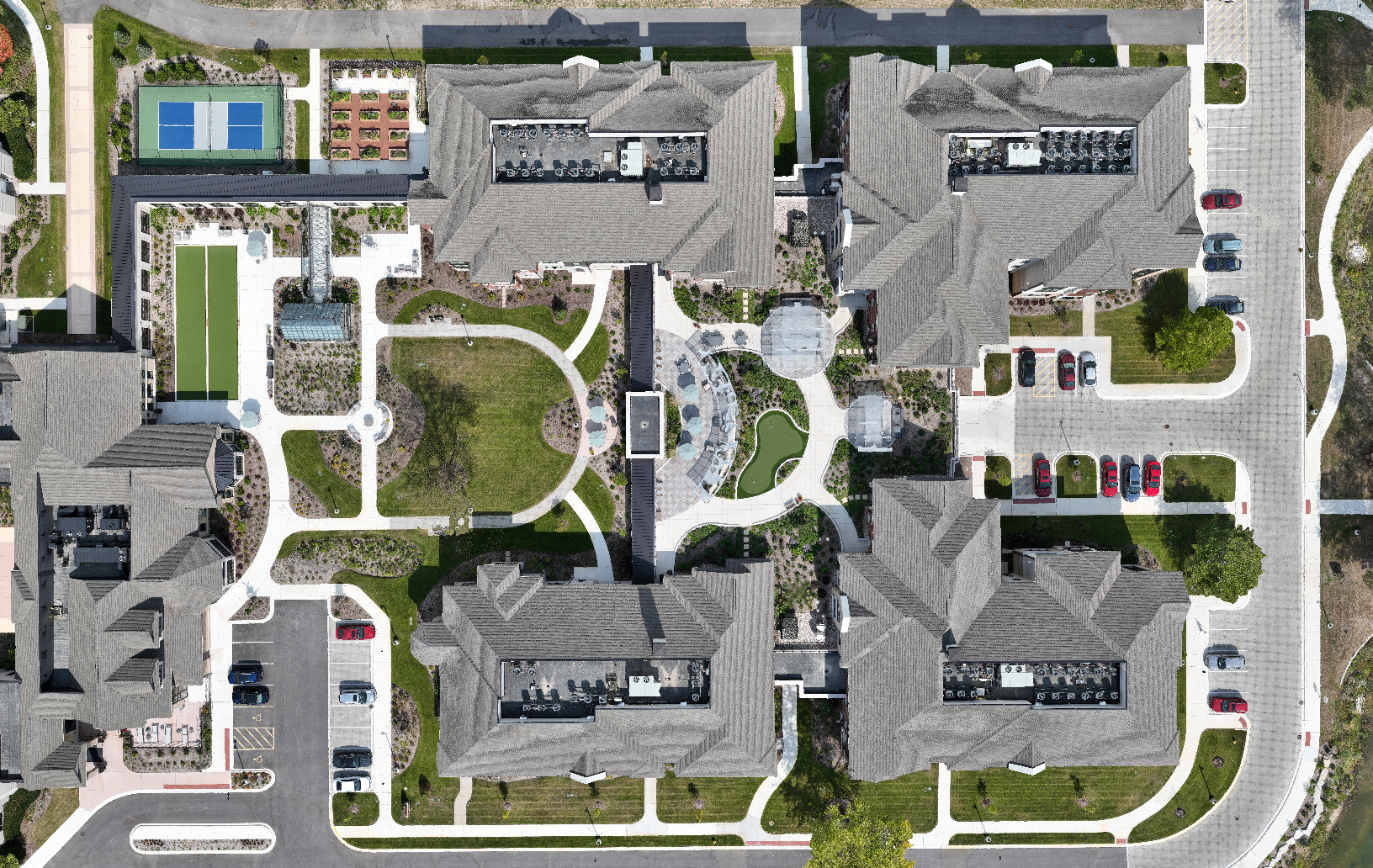
Aero Map Drone Solutions can also provide high-resolution aerial data and 3D deliverables for construction, solar, and infrastructure projects across Illinois and the Midwest. These precision deliverables include detailed orthomosaics, 3D models, DSM/DTM surfaces, and fast-turnaround.
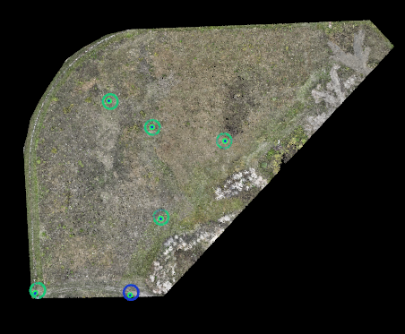
Orthomosaic Mapping
Create detailed, georeferenced site maps from high-resolution aerial imagery for progress tracking and design planning.
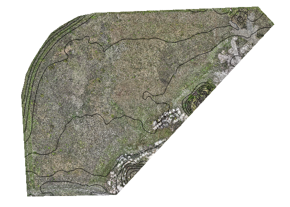
Contours
Deliver clear contour lines and elevation maps. Ideal for engineers who need quick, accurate elevation references for design or verification.
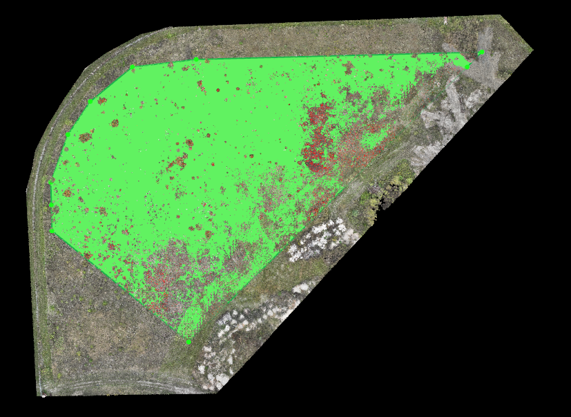
Cut-Fill & Earthwork Volume Analysis
Accurately calculate earthwork volumes and material movement for grading, excavation, and backfill operations.
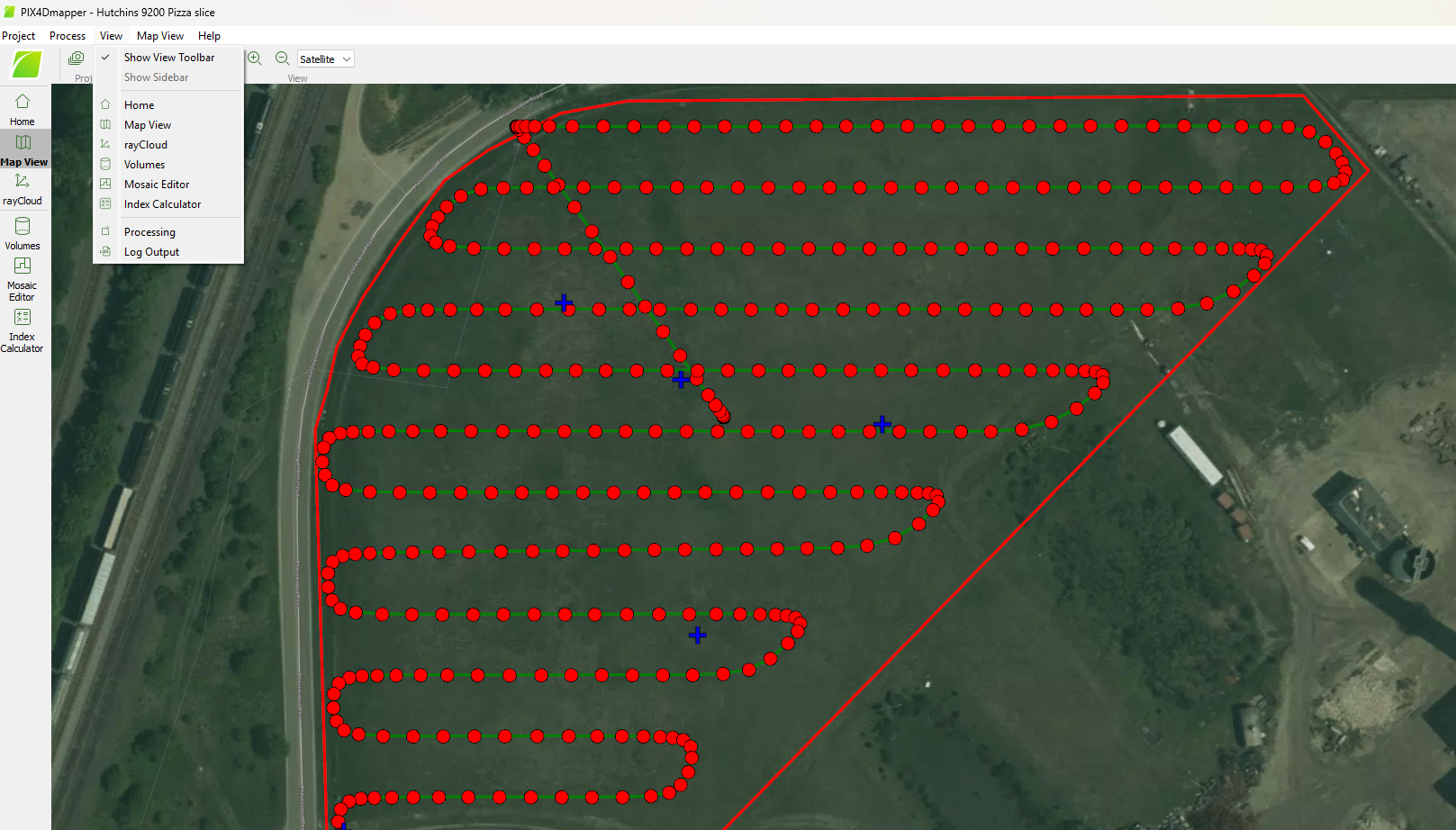
3D Modeling & Visualization
Generate textured 3D models and elevation data for planning, design review, and as-built documentation.
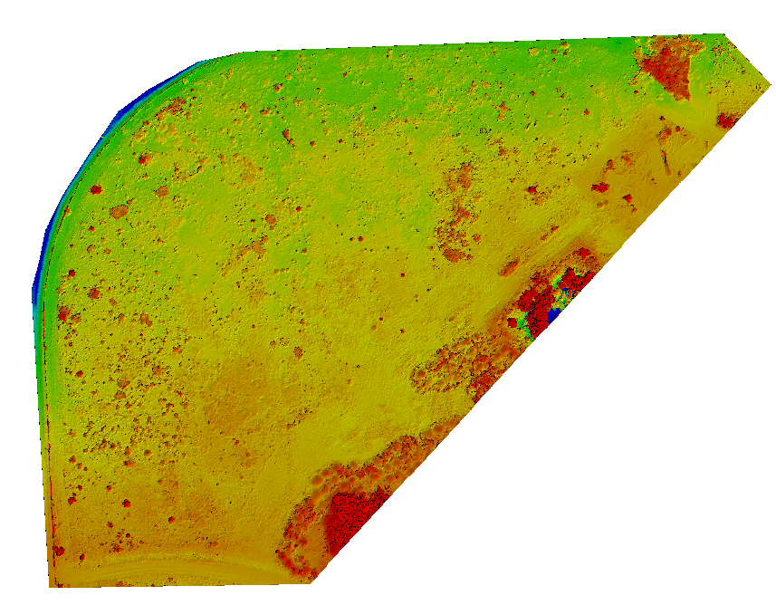
Utility & Solar Site Mapping
Capture large-scale energy and utility sites safely and efficiently, supporting design, construction, and maintenance workflows.
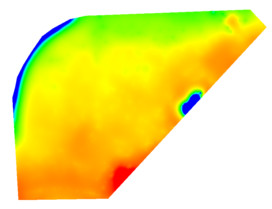
Progress Documentation
Repeat aerial captures to visualize project milestones, track site changes, and communicate updates to stakeholders.
Our Equipment & Technology
We primarily pilot DJI’s Maveric 3 Enterprise commercial grade drone utilizing RTK (Real-Time Kinematic) equipment by EMLID to ensure a capture process that offers high quality visuals and accuracy.
Post flight the data is uploaded and process within a Photogrammetry software to build a Textured Mesh. Pix4D Mapper is our go to photogrammetry and 3D modelling software. We utilize NIRA to share the result with you as well as file types for further utilization in your AutoCAD, CATIA, SOLIDWORKS, and more.
View interactive sample | Utilizing NIRA
View your Aero Map utilizing Nira on your laptop, tablet, or even from your phone!